The Gallery​

Stephen Hanon’s virtual map gallery​

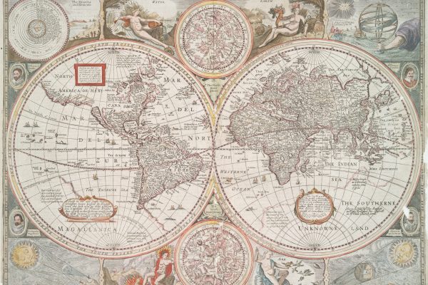
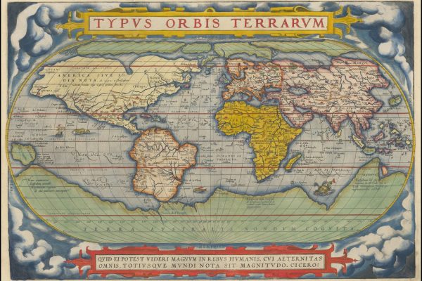
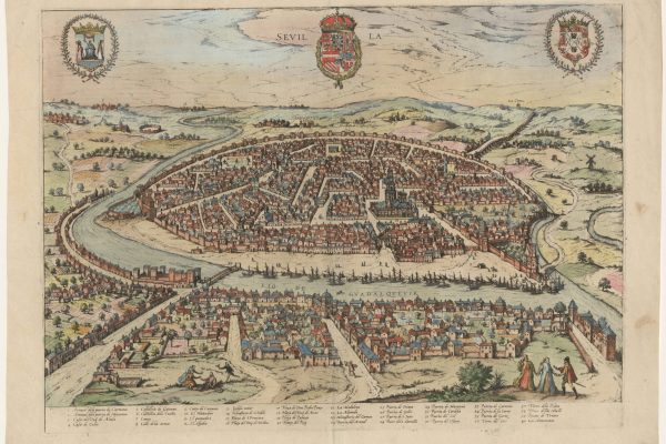
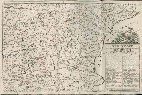
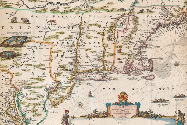
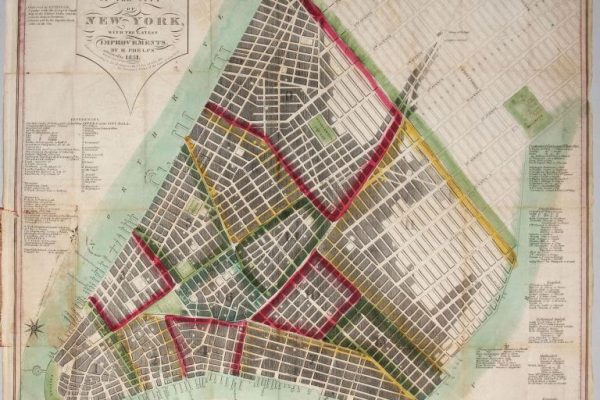
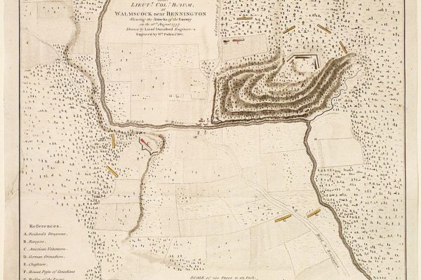
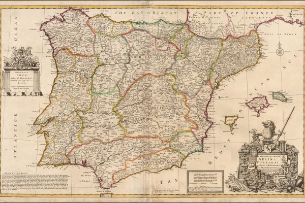
The maps you see below are the core of my small collection and represent my thematic interests: The Age of Discovery, Maps and Views of Spain, Early American Maps (particularly Revolutionary War and New York City). Like many collectors, I enjoy maps that reinforce connections to my family history and ethnic heritage (Syrian [Nasr], Irish [Hanon], French [Rabut], Scottish [Taylor]. 

Filter by region

Map Regions

Filter by Type

Map Types

Explorations of Great Lakes and Mississippi River by Marquette and Jolliett.

Facsimile of Jolliet manuscript map first published in Recueil de Voyages de Mr Thevenot. Paris, 1682.

Journals of Lewis 1804-1806. Published in London, 1815

Rare Third State - Roger Rea Publisher

"Theatrum Orbis Terrarum" (Antwerp, 1570)

NOVI BELGII NOVAEQUE ANGLIAE NEC NON PARTIS VIRGINIAE TABULA. [Amsterdam, ca. 1652.]

Haskell, D. C. Manhattan Maps, no. 736; not in Rumsey Cartographic Collection (online site); cf. Tooley’s Revised Dictionary of Mapmakers, K-P, pp. 419-420.

William Faden, 1780

Illustrated Atlas of the World