
This is contemporary to when my ancestors who were Revolutionary War Patriots lived in Amherst, New Hampshire and fought in battles in Bennington, Rhode Island, and West Point during Arnold’s Treason.
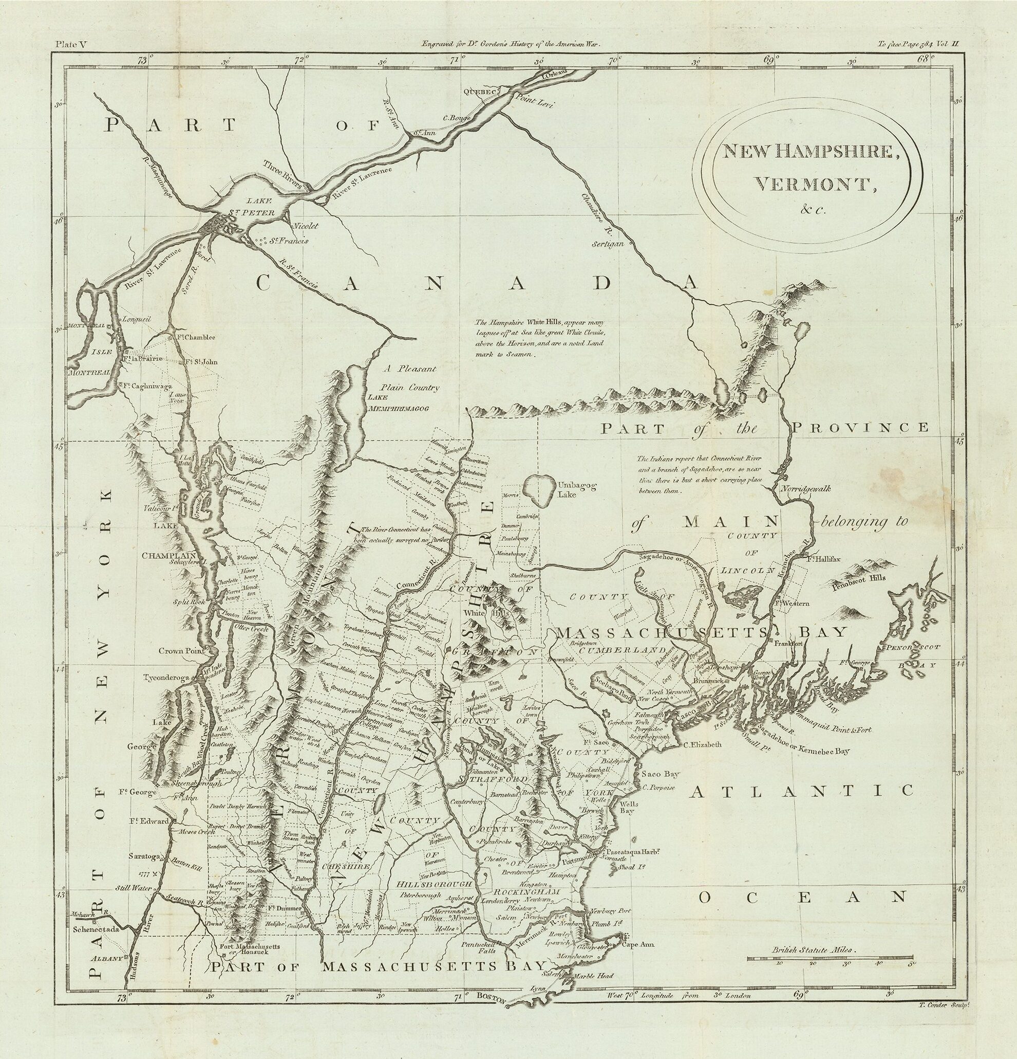
The map shows counties, townships, towns, forts, rivers, lakes, etc. Maine is listed as Part of the District of Main belonging to Massachusetts Bay.
Various notes describe the White Hills, the limits of the Survey of the Connecticut River, and other interesting colonial information.