
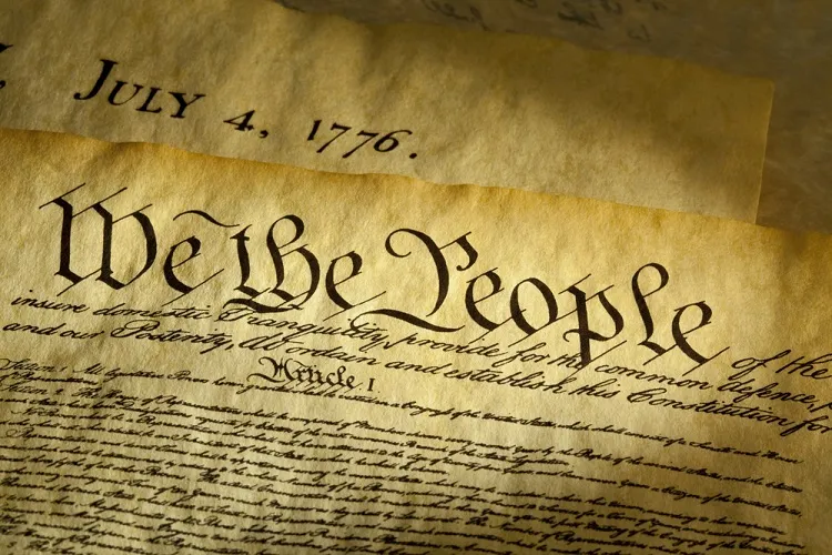
As fireworks light up the skies across the United States, today we pause to honor the Fourth of July, America’s Independence Day, marking the formal adoption of the Declaration of Independence in 1776.
On that historic day in Philadelphia, delegates of the Second Continental Congress gathered at what we now call Independence Hall to approve a revolutionary document. The Declaration’s bold assertion of self-governance changed the course of history, inspiring generations in the pursuit of liberty.
As a student of maps and history, I’m drawn to the way early cartographers captured both the physical and ideological contours of a new nation taking shape. Revolutionary-era maps not only documented territory—they reflected political aspirations, shifting allegiances, and the birth of a national identity.
In the words of John Adams, writing to his wife Abigail:
“The Second Day of July 1776, will be the most memorable Epocha in the History of America… It ought to be solemnized with Pomp and Parade… Bonfires and Illuminations from one End of this Continent to the other.”
Adams’s date was off by two days (Congress approved the resolution for independence on July 2, but adopted the final Declaration on July 4), but his vision of celebration and remembrance rings true nearly 250 years later.
As we approach the Semiquincentennial in 2026, I encourage you to reflect on the people, places, and maps that shaped our nation’s founding. Let history be not only remembered—but rediscovered. Come back for Reflections on our Country’s founding and development.
Wishing you and your loved ones a joyful, meaningful, and safe Independence Day.